
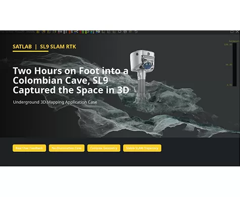
Two Hours on Foot into a Colombian Cave, SL9 Captured the Space in 3D
Can a handheld SLAM system create usable 3D data in a space with no illumination, narrow passages, wet ground, and complex rock geometry?
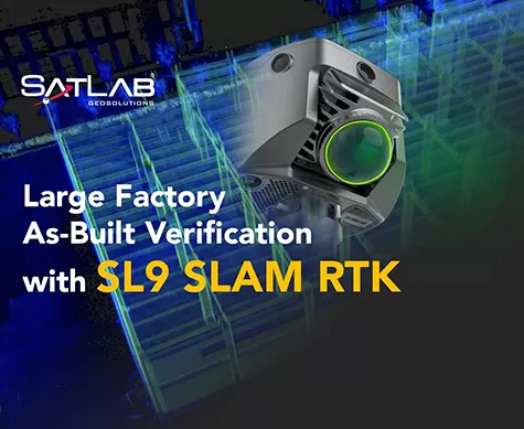
Large Factory As-Built Verification with SL9 SLAM RTK
A field-to-office workflow for capturing two factory floors, fusing SLAM projects, and verifying as-built conditions against CAD drawings.
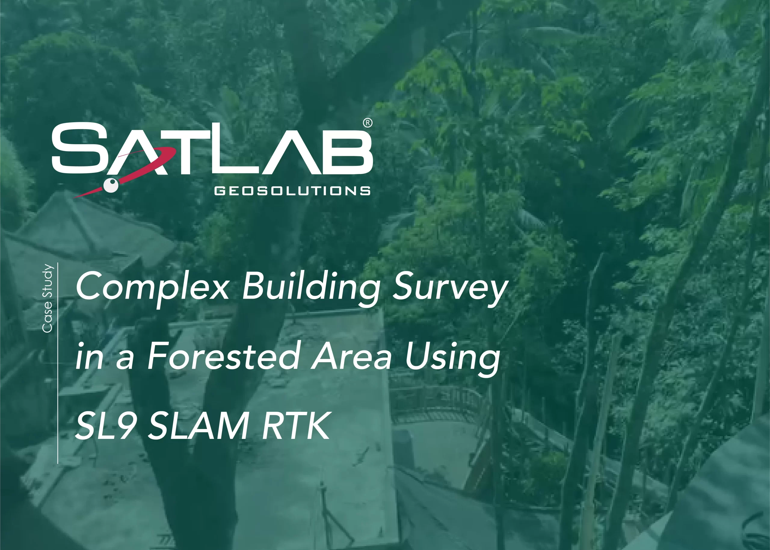
Levantamiento topográfico de edificios complejos en una zona boscosa mediante SL9 SLAM RTK
Este caso práctico muestra cómo el sistema SL9 SLAM RTK captura nubes de puntos de alta calidad de un complejo turístico en Bali, ubicado en una zona con vegetación densa y condiciones GNSS limitadas, proporcionando datos precisos del estado de la construcción para el diseño y la renovación.
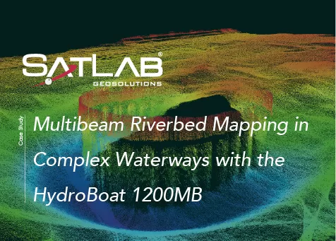
Mapeo multihaz del lecho fluvial en vías navegables complejas con el HydroBoat 1200MB
Este caso demuestra el uso del HydroBoat 1200MB para realizar un mapeo multihaz de alta resolución del lecho de un río en una vía fluvial japonesa.