

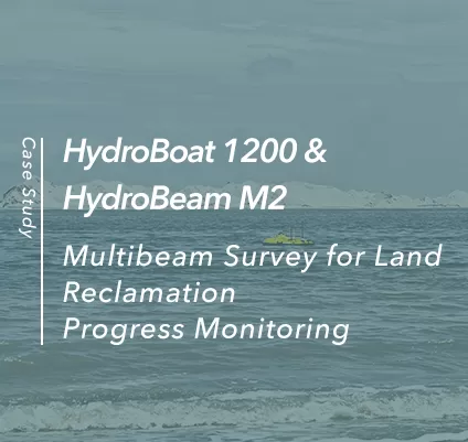
Multibeam Survey for Land Reclamation Progress Monitoring
In 2026, SatLab deployed the HydroBoat 1200 USV with the HydroBeam M2 multibeam echosounder for a land reclamation project in an undisclosed country.
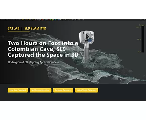
Two Hours on Foot into a Colombian Cave, SL9 Captured the Space in 3D
Can a handheld SLAM system create usable 3D data in a space with no illumination, narrow passages, wet ground, and complex rock geometry?

Large Factory As-Built Verification with SL9 SLAM RTK
A field-to-office workflow for capturing two factory floors, fusing SLAM projects, and verifying as-built conditions against CAD drawings.
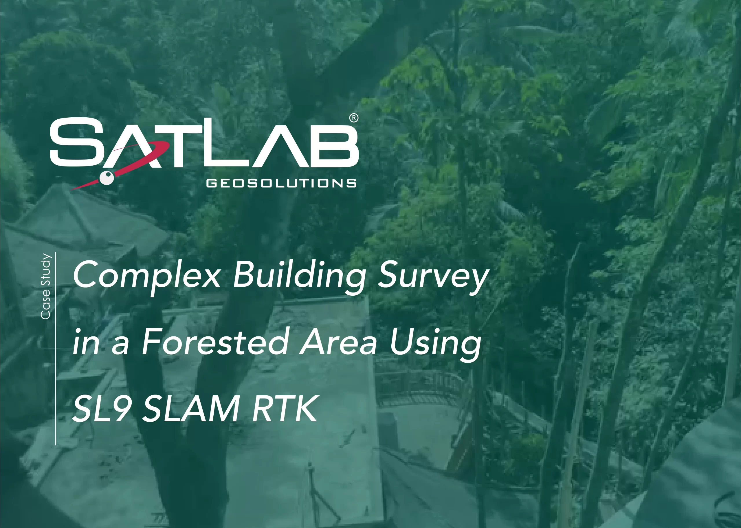
Levés topographiques complexes de bâtiments en zone forestière à l'aide du SLAM RTK SL9
Ce cas illustre le SL9 SLAM RTK, capturant des nuages de points de haute qualité d'un complexe hôtelier de Bali sous une végétation dense et dans des conditions GNSS limitées, fournissant des données précises sur l'existant pour la conception et la rénovation.
