
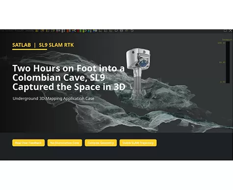
Two Hours on Foot into a Colombian Cave, SL9 Captured the Space in 3D
Can a handheld SLAM system create usable 3D data in a space with no illumination, narrow passages, wet ground, and complex rock geometry?
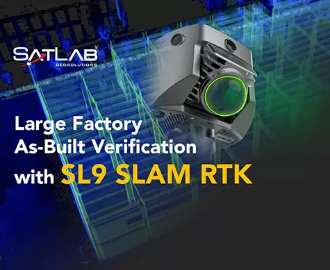
Large Factory As-Built Verification with SL9 SLAM RTK
A field-to-office workflow for capturing two factory floors, fusing SLAM projects, and verifying as-built conditions against CAD drawings.
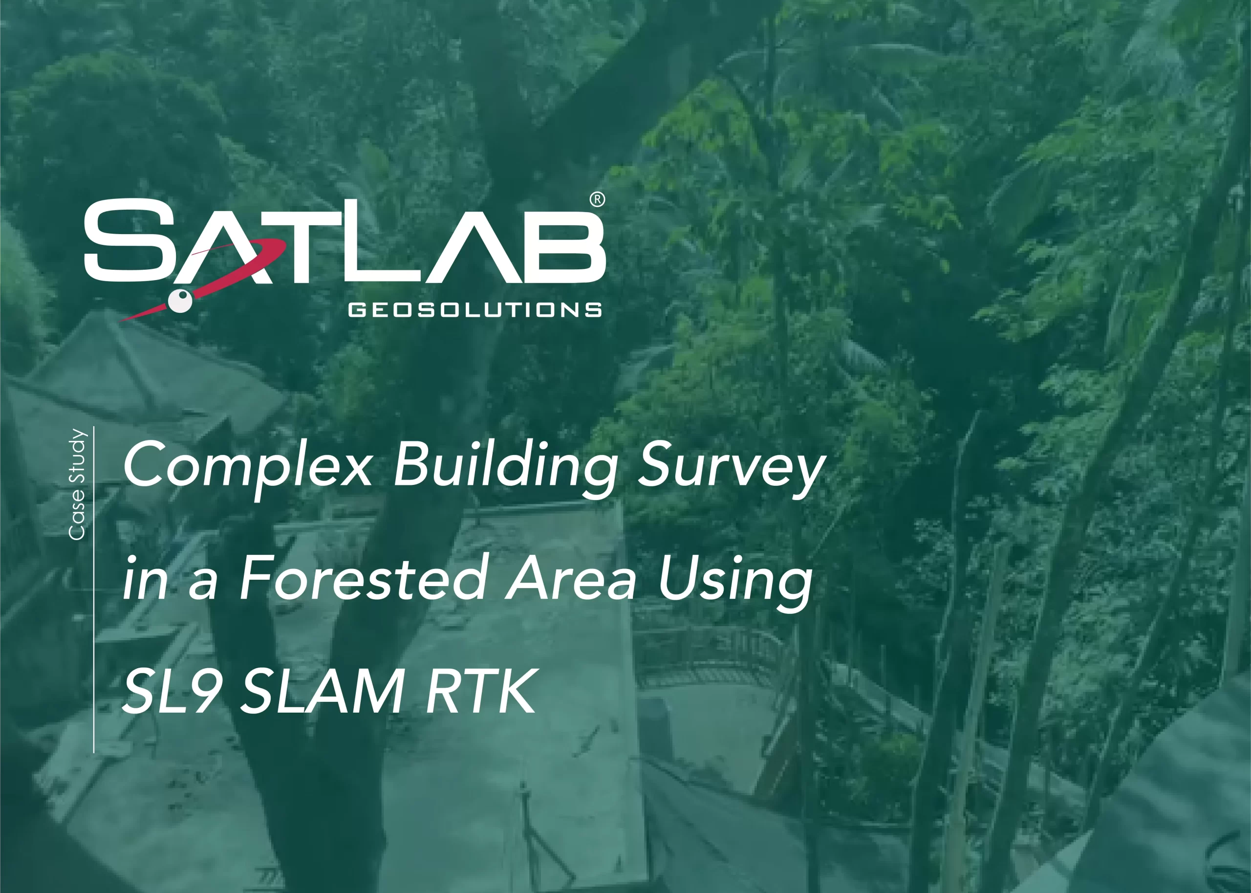
Complex Building Survey in a Forested Area Using SL9 SLAM RTK
This case showcases the SL9 SLAM RTK, capturing high-quality point clouds of a Bali resort under dense vegetation and limited GNSS conditions, providing accurate as-built data for design and renovation.
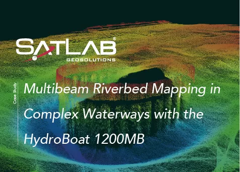
Multibeam Riverbed Mapping in Complex Waterways with the HydroBoat 1200MB
This case demonstrates the use of the HydroBoat 1200MB to perform high-resolution multibeam riverbed mapping in a Japanese waterway.