
Two Hours on Foot into a Colombian Cave, SL9 Captured the Space in 3D
Can a handheld SLAM system create usable 3D data in a space with no illumination, narrow passages, wet ground, and complex rock geometry?
Large Factory As-Built Verification with SL9 SLAM RTK
A field-to-office workflow for capturing two factory floors, fusing SLAM projects, and verifying as-built conditions against CAD drawings.
Levantamento topográfico de edifícios complexos em área florestal utilizando SL9 SLAM RTK
Este caso demonstra o SL9 SLAM RTK, capturando nuvens de pontos de alta qualidade de um resort em Bali sob vegetação densa e condições GNSS limitadas, fornecendo dados precisos da obra concluída para projetos e reformas.
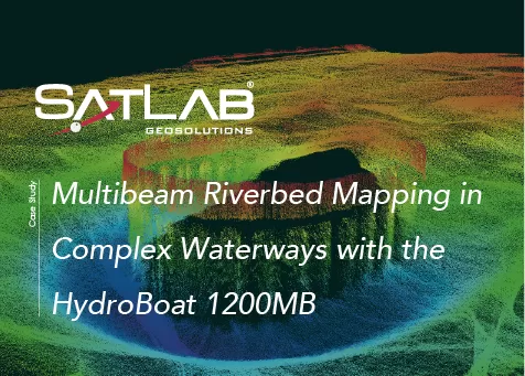
Mapeamento multifeixe do leito de rios em vias navegáveis complexas com o HydroBoat 1200MB
Este caso demonstra a utilização do HydroBoat 1200MB para realizar mapeamento multifeixe de alta resolução do leito de um rio em uma hidrovia japonesa.