
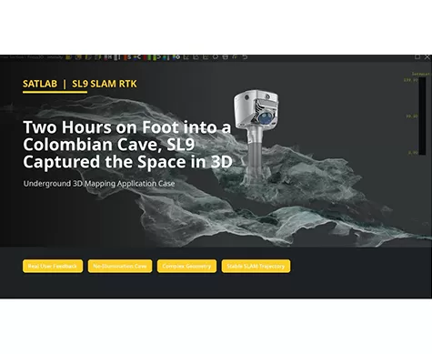
Two Hours on Foot into a Colombian Cave, SL9 Captured the Space in 3D
Can a handheld SLAM system create usable 3D data in a space with no illumination, narrow passages, wet ground, and complex rock geometry?
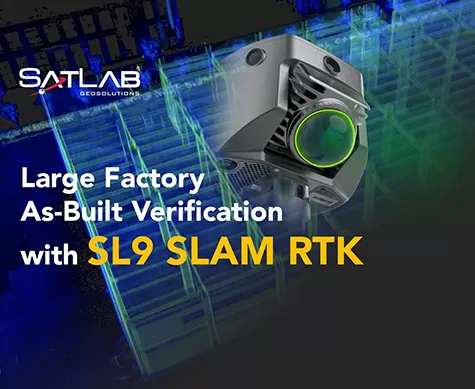
Large Factory As-Built Verification with SL9 SLAM RTK
A field-to-office workflow for capturing two factory floors, fusing SLAM projects, and verifying as-built conditions against CAD drawings.
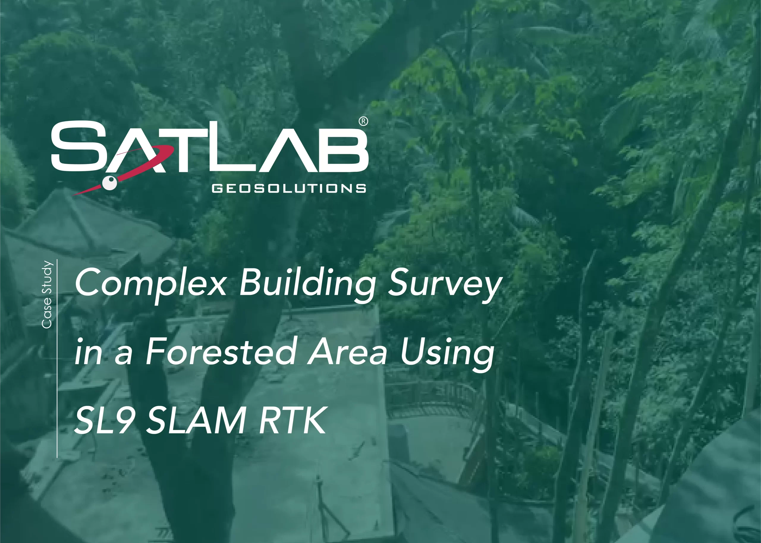
SL9 SLAM RTKを使用した森林地帯における複雑な建物の測量
この事例では、SL9 SLAM RTKが、密集した植生と限られたGNSS条件下において、バリ島のリゾートの高品質な点群データを取得し、設計および改修のための正確な竣工データを提供することを実証しています。
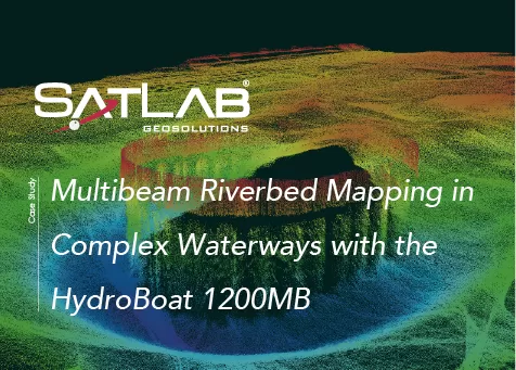
HydroBoat 1200MBを用いた複雑な水路におけるマルチビーム河床マッピング
本事例は、ハイドロボート1200MBを用いて日本の水路における高解像度マルチビーム河床マッピングを実施した例を示すものである。