
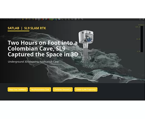
Two Hours on Foot into a Colombian Cave, SL9 Captured the Space in 3D
Can a handheld SLAM system create usable 3D data in a space with no illumination, narrow passages, wet ground, and complex rock geometry?
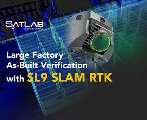
Large Factory As-Built Verification with SL9 SLAM RTK
A field-to-office workflow for capturing two factory floors, fusing SLAM projects, and verifying as-built conditions against CAD drawings.
SL9 SLAM RTK Kullanılarak Ormanlık Alanda Karmaşık Bina Araştırması
Bu örnekte, SL9 SLAM RTK cihazının, yoğun bitki örtüsü ve sınırlı GNSS koşulları altında bir Bali tatil köyünün yüksek kaliteli nokta bulutlarını yakalayarak, tasarım ve yenileme için doğru mevcut durum verileri sağladığı gösterilmektedir.
HydroBoat 1200MB ile Karmaşık Su Yollarında Çok Işınlı Nehir Yatağı Haritalaması
Bu örnek, Japonya'daki bir su yolunda yüksek çözünürlüklü çok ışınlı nehir yatağı haritalaması yapmak için HydroBoat 1200MB'nin kullanımını göstermektedir.