
Complex Building Survey in a Forested Area Using SL9 SLAM RTK
This case showcases the SL9 SLAM RTK, capturing high-quality point clouds of a Bali resort under dense vegetation and limited GNSS conditions, providing accurate as-built data for design and renovation.
Multibeam Riverbed Mapping in Complex Waterways with the HydroBoat 1200MB
This case demonstrates the use of the HydroBoat 1200MB to perform high-resolution multibeam riverbed mapping in a Japanese waterway.
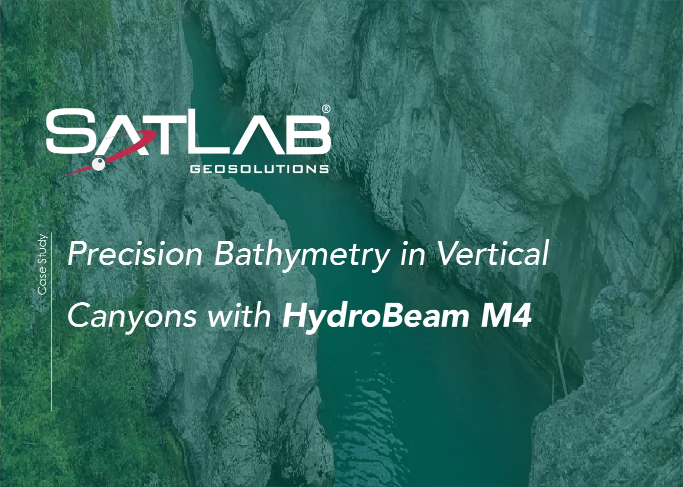
Precision Bathymetry in Vertical Canyons with HydroBeam M4
A narrow river winds through a dramatic canyon, its steep, near-vertical rock walls rising sharply on either side.
Apus-MX UAV LiDAR Maps Portugal’s Largest Biofuel Plant
At Portugal’s largest biofuel plant, the Apus-MX UAV LiDAR system delivered sub-5 cm overall accuracy and 1–2 cm precision in key zones, completing a comprehensive site scan within a single day.