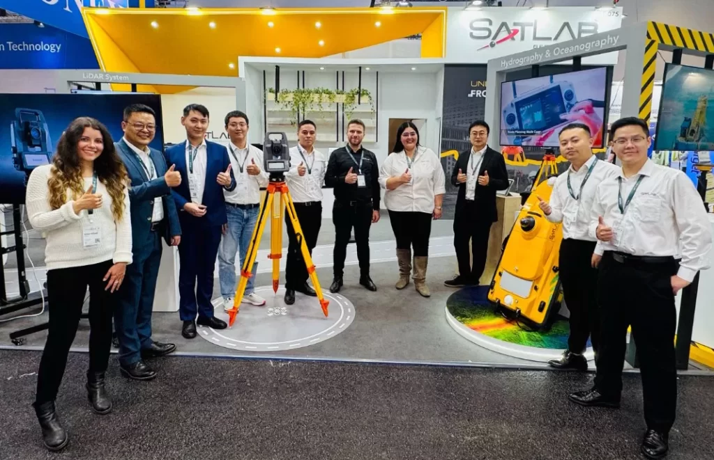
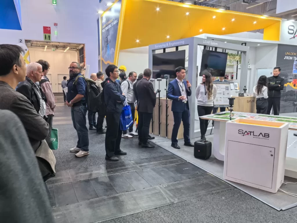
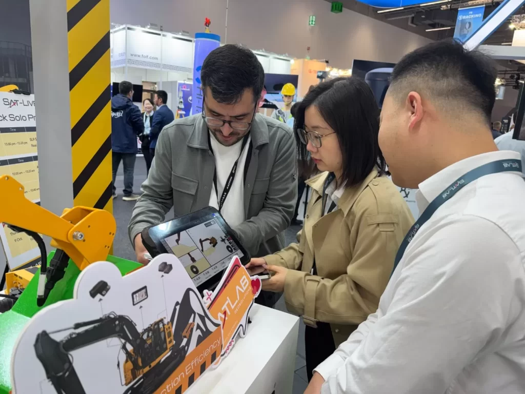
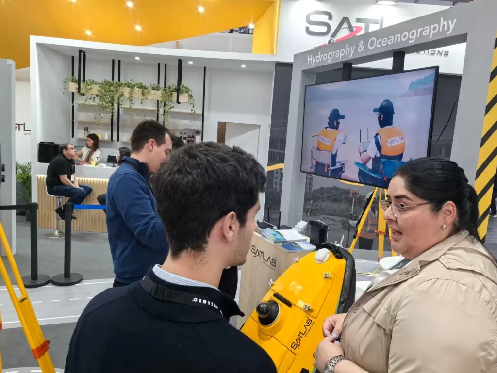
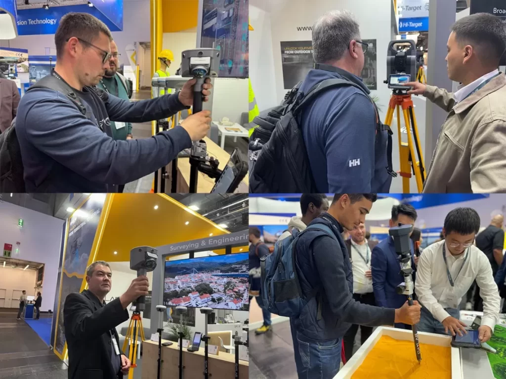
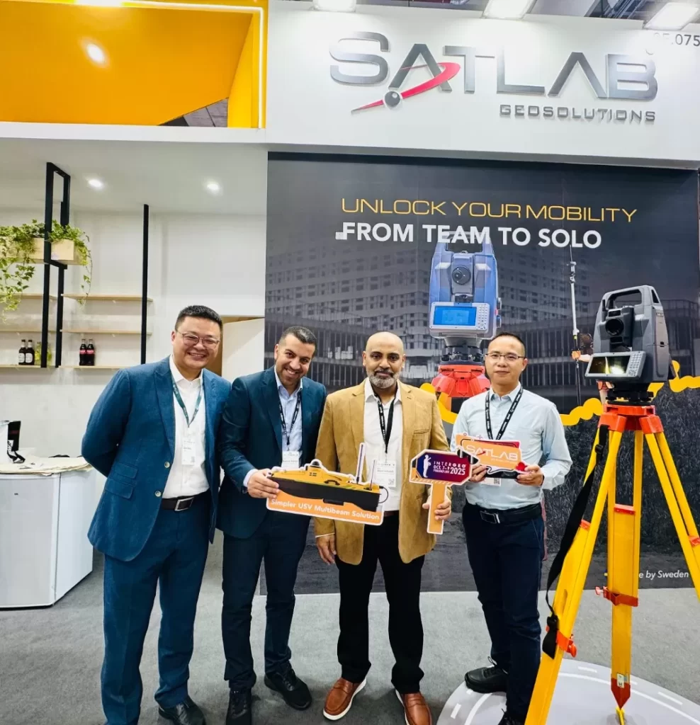
No Pavilhão 12.0, Stand 0F075A equipe do SatLab interagiu com parceiros, clientes e profissionais do setor, discutindo aplicações práticas, desafios operacionais e oportunidades de colaboração. Essas interações ao vivo destacaram a Confiabilidade, usabilidade e versatilidade. das soluções da SatLab em diversos cenários.
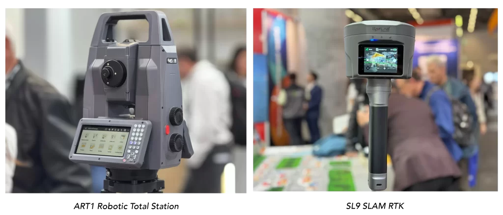
“A INTERGEO é uma plataforma valiosa para conectar-se com a comunidade geoespacial”, disse a equipe do SatLab. “Este ano, demonstramos como nossas soluções integram operações terrestres, aéreas e marítimas, permitindo que os profissionais alcancem resultados mais eficientes e precisos.”