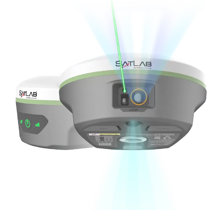
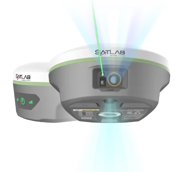
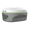
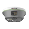
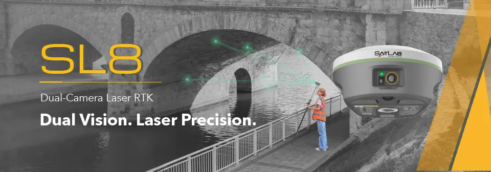
SatLab SL8 Laser RTK combines dual cameras, GNSS, IMU,and visible laser technology to make surveying faster and easier. With non-contact measurement, image-assisted targeting, CAD live-view stakeout, and a built-in LoRa radio,It ensures smooth, reliable work even in complex or GNSS-limited environments.
Achieve 2 cm accuracy within 10 m using Laser RTK, even in GNSS-denied environments.
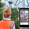
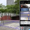
Perfect for bridges, tunnels, riverbanks, and other complex sites where traditional GNSS cannot work.
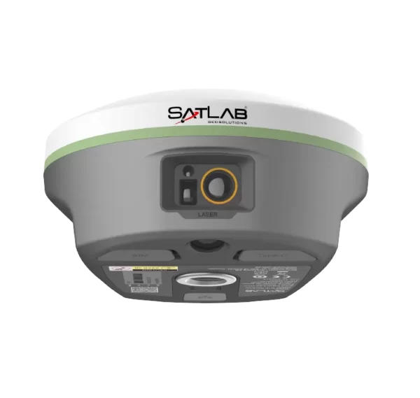
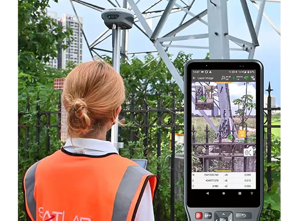
Laser points are directly overlaid on real-time images in SatSurv software, enabling users to instantly locate and aim at distant objects.
This visual workflow greatly improves on-site speed and confidence.
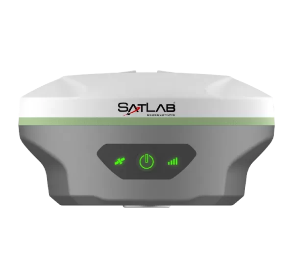
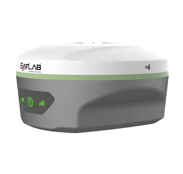
The automotive-grade IMU requires no manual calibration or initialization—just power on and measure.
It delivers stable, precise results and boosts accuracy by up to 40%, even in GNSS-challenged areas.
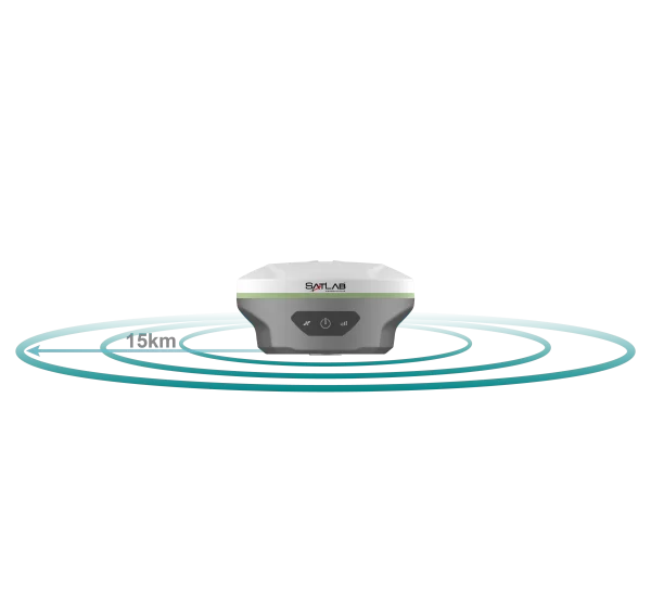
With a built-in multi-protocol LoRa transceiver, SL8 ensures stable communication over 15 km and seamless compatibility with various RTK brands.
Our self-developed LoRa algorithms maintain strong, reliable links across long distances.
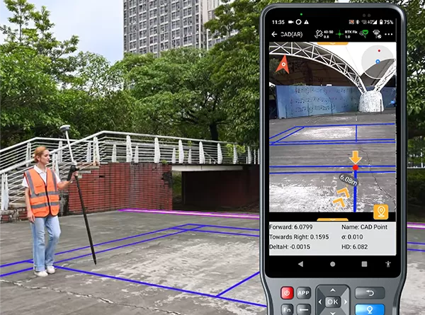
A high-performance CAD engine combined with real-scene imagery allows users to stake out directly from visual and CAD views.
See your target points on-site for a safer, faster, and more intuitive workflow—improving efficiency by up to 50%.