土木調査におけるEyrの応用
プロジェクトの背景
ある住宅建設会社が、高層住宅の基礎工事を請け負いました。この重要な段階には、大規模な土木工事の掘削と盛土が含まれるため、プロジェクトの成功を確実なものにするためには、正確かつ安全な計測が不可欠です。計測の効率と精度を高めるため、同社は土木工事の計測に視覚測位技術とRTK技術を活用することを決定しました。
ペインポイント分析
従来の土木工事の計測方法は手作業に依存しており、時間と労力を要する作業であり、ミスが発生しやすいという問題がありました。さらに、地形の複雑さや基礎工事特有の要件により、計測の精度と精密さはさらに問われています。より効率的で正確かつ視覚化された計測ソリューションへの需要が高まっています。
実施プログラム
ユーザーの悩みを解決するため、住宅建設会社は、基礎工事における土木工事計測における視覚的な位置決めの実装計画を策定しました。主な手順は以下のとおりです。
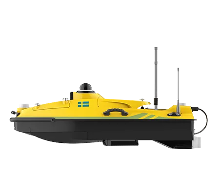
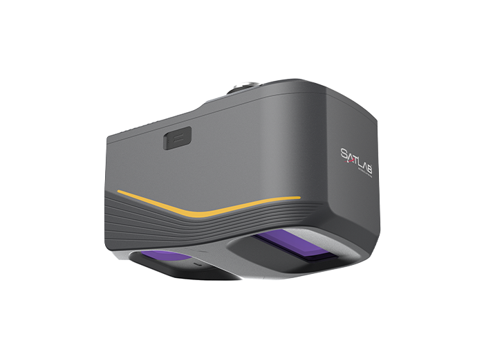
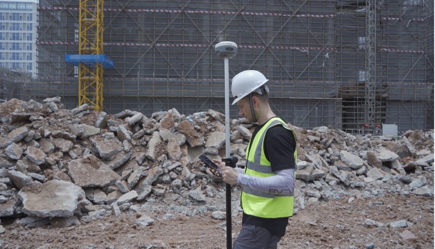
(a)機材の準備: 基礎工学環境に適した GNSS RTK 機器の選択により、干渉耐性と耐久性が確保されます。
(b) 地上制御点の配置: 建設区域内の地上コントロールポイントの戦略的な配置は、正確な測定のための基準データとして機能します。
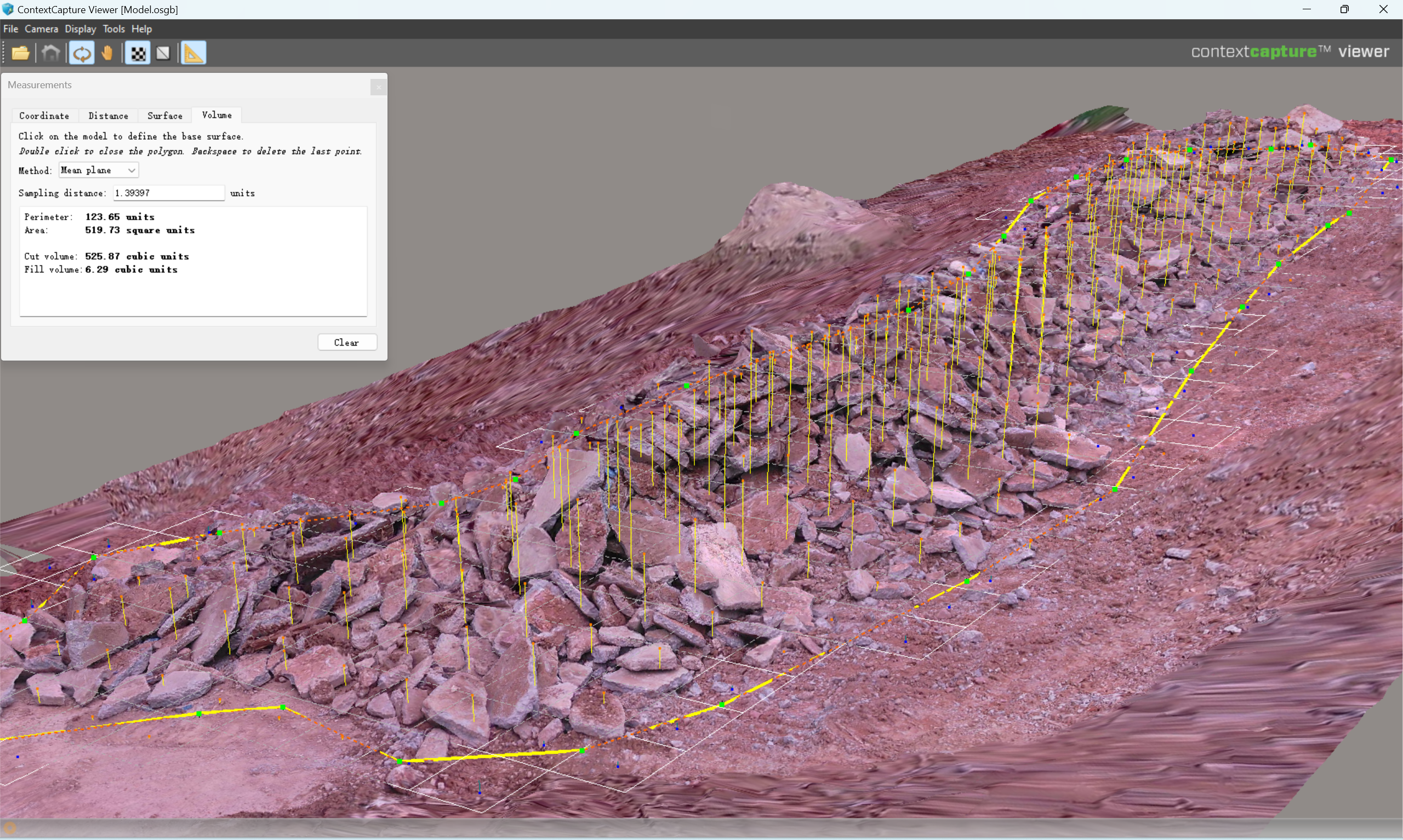
(c)データ収集: Eyr RTKシステムは、土量、形状、平坦度など、土工の様々なパラメータを測定するために利用されます。画像データと測位データを組み合わせることで、高度な画像処理アルゴリズムを用いて正確な土工測定結果が得られます。
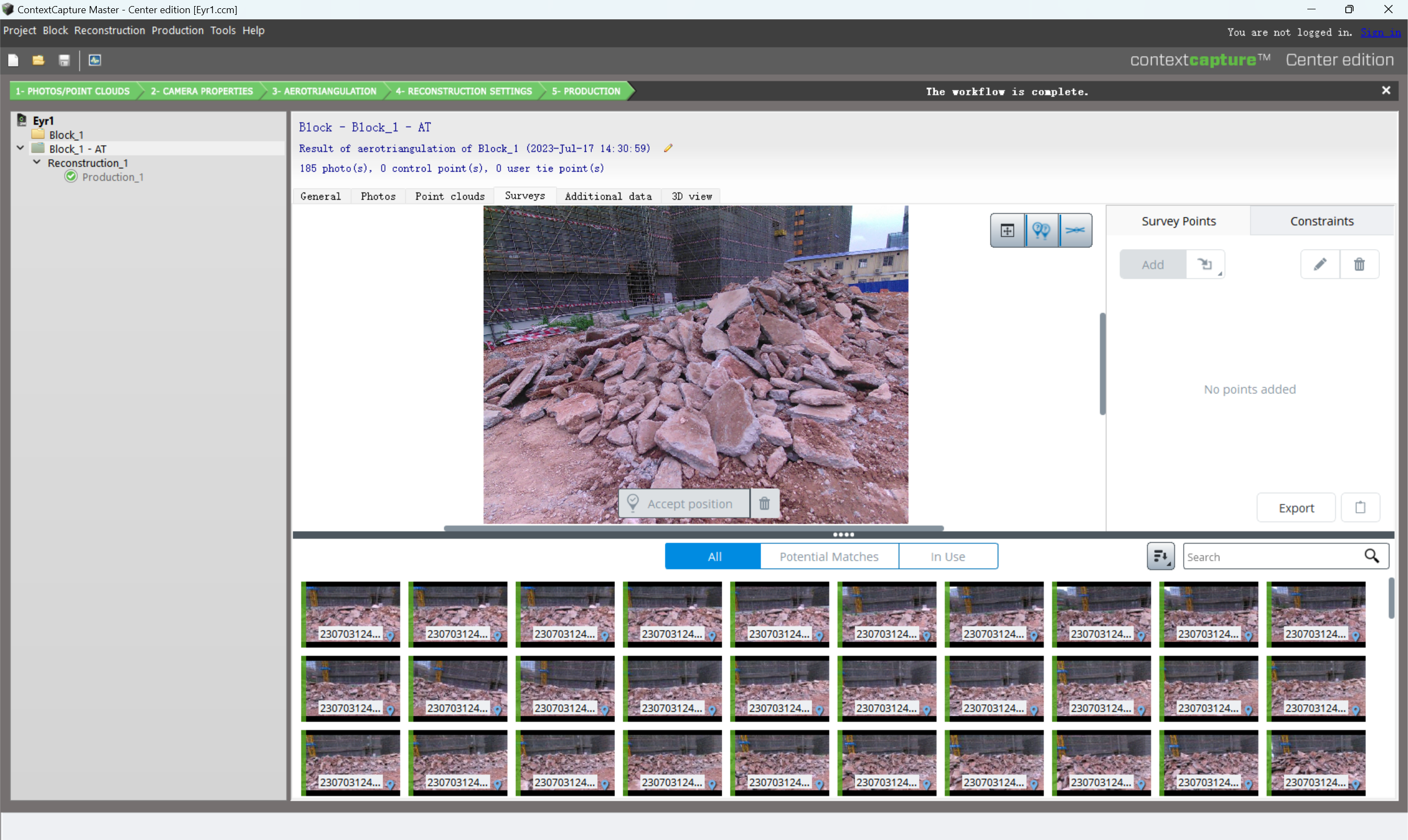
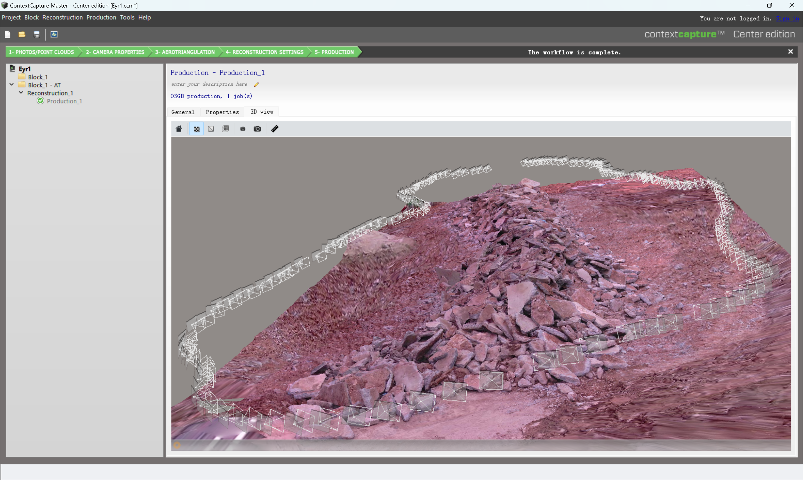
(d)データ分析と可視化: 取得された土工計測結果はバックグラウンド処理システムにインポートされます。その後、データは高度な分析・可視化ツールを通じてグラフィック形式でユーザーに表示されます。これにより、土工状況のより的確な把握が可能になり、必要に応じて施工調整や盛土管理を容易に行うことができます。
まとめ
基礎工事における土工測量に視覚測位を採用したことで、住宅建設会社はいくつかの重要なメリットを得ました。
-
-
-
- 測定効率の向上: 従来の手動の方法を置き換えることで、視覚的な位置決めにより測定時間が大幅に短縮され、全体的な測定効率が向上します。
- 測定精度の向上: 画像処理と正確な位置決めを活用し、視覚的な位置決めによって人為的エラーが最小限に抑えられ、より正確な土工測定結果が得られます。
- リアルタイム施工調整:リアルタイムの可視化により、ユーザーは土工状況を迅速に評価し、施工調整や盛土管理を容易に行うことができます。これにより、施工精度と安全性が向上します。
-
-